Ohio & Erie Canal Towpath Trail
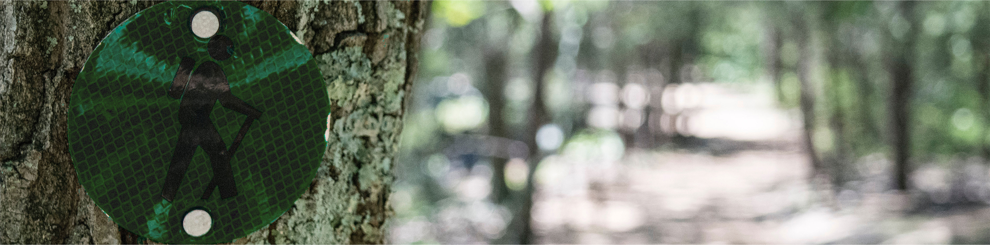
This multi-purpose trail was developed by the National Park Service and is the major trail through Cuyahoga Valley National Park. Open 24 hours a day, this trail follows the historic route of the Ohio & Erie Canal through the Cuyahoga River valley. This north-south trail currently extends more than 81 miles from Cuyahoga County, through Summit and Stark counties, to Tuscarawas County and will eventually extend 110 miles upon completion.
From the trail, cyclists can make connections to many of the natural and historic sites in the park and to other trails that intersect it along the way. Cyclists can enjoy the scenic flavor of restaurants and shops near Lock 29 in Peninsula and Lock 39 near Rockside Road while the more adventurous may want to park their bikes and make the trek to the secluded beauty of the Blue Hen and Buttermilk water falls. History buffs will enjoy visits to the trail’s visitor centers, the Boston Mills and Cascade Lock historic districts and many other sites.
This trail is level and hard-packed and is fully accessible for people of all ages and abilities. (Please note that this is a shared-use trail with pedestrians and you should expect to encounter baby strollers and wheelchairs as well as other cyclists.) This trail includes many picnic areas, restrooms and has many access points to the Cuyahoga Valley Scenic Railroad.
Trail Length: 81 miles
| Trail | Trailhead Start | Trailhead Finish | Length |
|---|---|---|---|
| North County Line to Station Road Bridge | 13513 Station Rd. Brecksville, OH 44141 | 2.6 miles | |
| Station Road Bridge to Red Lock | 13513 Station Rd. Brecksville, OH 44141 | 1175 Highland Road, Sagamore Hills | 2.5 miles |
| Red Lock to Boston Store | 1175 Highland Road, Sagamore Hills | 1548 Boston Mills Rd. Peninsula, OH 44264 | 1.9 miles |
| Boston Store to Lock 29 | 1548 Boston Mills Rd. Peninsula, OH 44264 | 1650 Mill St., Peninsula, OH, 44264 | 2.3 miles |
| Lock 29 to Deep Lock Quarry | 1650 Mill St., Peninsula, OH, 44264 | 5779 Riverview Rd., Peninsula | .8 miles |
| Deep Lock Quarry to Hunt Farm | 5779 Riverview Rd., Peninsula | 2045 Bolanz Rd. Peninsula, OH 44264 | 2.5 miles |
| Hunt Farm to Indigo Lake | 2045 Bolanz Rd. Peninsula, OH 44264 | 4300 Riverview Rd. Peninsula, OH 44264 | .5 miles |
| Indigo Lake to Ira Rd | 4300 Riverview Rd. Peninsula, OH 44264 | 3801 Riverview Rd Peninsula, OH 44264 | .8 miles |
| Ira Rd to Botsum | 3801 Riverview Rd Peninsula, OH 44264 | 2928 Riverview Rd. Akron, OH 44313 | 1.9 miles |
| Botzum to Portage Path | 2928 Riverview Rd. Akron, OH 44313 | 1431 North Portage Path Akron, OH 44310 | 2.7 miles |
| Portage Path to Big Bend | 1431 North Portage Path Akron, OH 44310 | 1337 Merriman Rd. Akron, OH 44313 | .8 miles |
| Big Bend to Memorial Parkway | 1337 Merriman Rd. Akron, OH 44313 | 499 Memorial Parkway Akron, OH 44310 | 2 miles |
| Memorial Parkway to Mustil Store | 499 Memorial Parkway Akron, OH 44310 | 248 Ferndale St. Akron, OH 44304 | 1.1 miles |
| Mustil Store to Beech St | 248 Ferndale St. Akron, OH 44304 | 40 Beech St. Akron, OH 44308 | .3 miles |
| Beech St to Lock 3 | 40 Beech St. Akron, OH 44308 | 200 S. Main St. Akron, OH 44308 | .6 miles |
| Lock 3 to Hower House | 200 S. Main St. Akron, OH 44308 | 47 W. Exchange St. Akron, OH 44308 | .2 miles |
| Hower House to Summit Lake | 47 W. Exchange St. Akron, OH 44308 | 380 W. Crosier St. Akron, OH 44311 | 1.9 miles |
| Summit Lake to Wilbeth Rd | 380 W. Crosier St. Akron, OH 44311 | 392 W. Wilbeth Rd. Akron, OH 44301 | 1.4 miles |
| Wilbeth Rd to Manchester Rd | 392 W. Wilbeth Rd. Akron, OH 44301 | 2740 Manchester Rd. Akron, OH 44319 | 1.7 miles |
| Manchester Rd to Barberton | 2740 Manchester Rd. Akron, OH 44319 | 5 Fairview Ave. Barberton, OH 44203 | 2.6 miles |
| Barberton to Wolf Creek | 5 Fairview Ave. Barberton, OH 44203 | 33 Snyder Ave. Barberton, OH 44203203 | 1.6 miles |
| Wolf Creek to Vanderhoof Rd | 33 Snyder Ave. Barberton, OH 44203 | 2445 Vanderhoof Rd. New Franklin, OH 44203 | 2.3 miles |
| Vanderhoof Rd to Franklin | 2445 Vanderhoof Rd. New Franklin, OH 44203 | 2328 Center Rd. New Franklin, OH 44216 | 2.4 miles |
| Franklin to Clinton | 2328 Center Rd. New Franklin, OH 44216 | 2749 North St. Clinton, OH 44216 | 1.4 miles |
| Clinton to South County Line | 2749 North St. Clinton, OH 44216 | 1.1 miles |